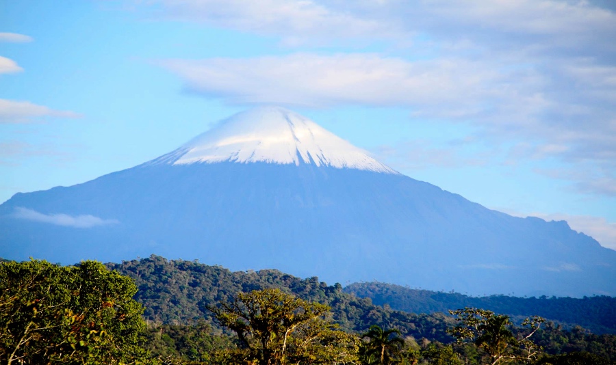
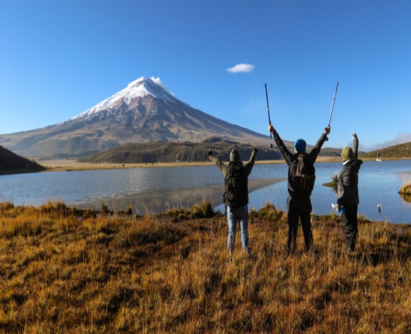
ANDES
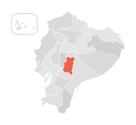
CHIMBORAZO
The volcano is located within the Chimborazo Fauna Reserve 150 km southwest of Quito. It is the highest volcano in
the northern Andes at 6268 masl and if measured from the center of the planet earth is the farthest point surpassing
Everest by almost 2 kilometers. It has 2 shelters, the first at 4800 masl and the second at 5000 masl. Its climate
varies according to the ascent having at the sopes 13 °C and its summit between -3° to 13° C.

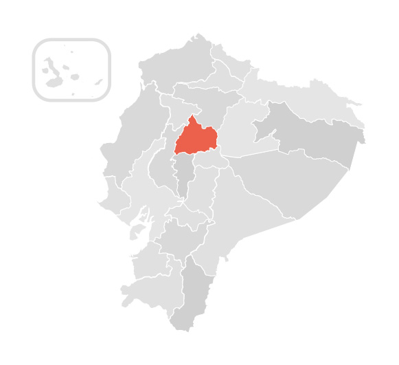
COTOPAXI
The volcano is located in the province of the same name, in the northern center of the Andes Mountains. It is one of the main tourist destinations in the Ecuadorian Andes, located 90.7 km from Quito.
It is the second-highest volcano on the equator, with a height of 5897 meters above sea level. The climate is hot and humid with an average temperature of 24° C. It has only one refuge located at
4800 masl.

CAYAMBE
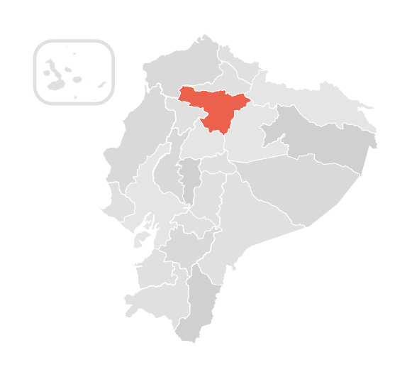
Cayambe is located in the northern part of the Cordillera Real of Ecuador, 60 km from the city of Quito. It is the country's
third highest peak, 5790 meters above sea level, part of the Cayambe-Coca National Park. The word Cayambe comes from the Kichwa
"cahan" which means "very cold place" because its climate corresponds to the coldest equinoctial line. Cayambe has the Ruales-Oleas-Berge
refuge at 4600 meters above sea level on behalf of 3 climbers who died in an avalanche.

ALTAR
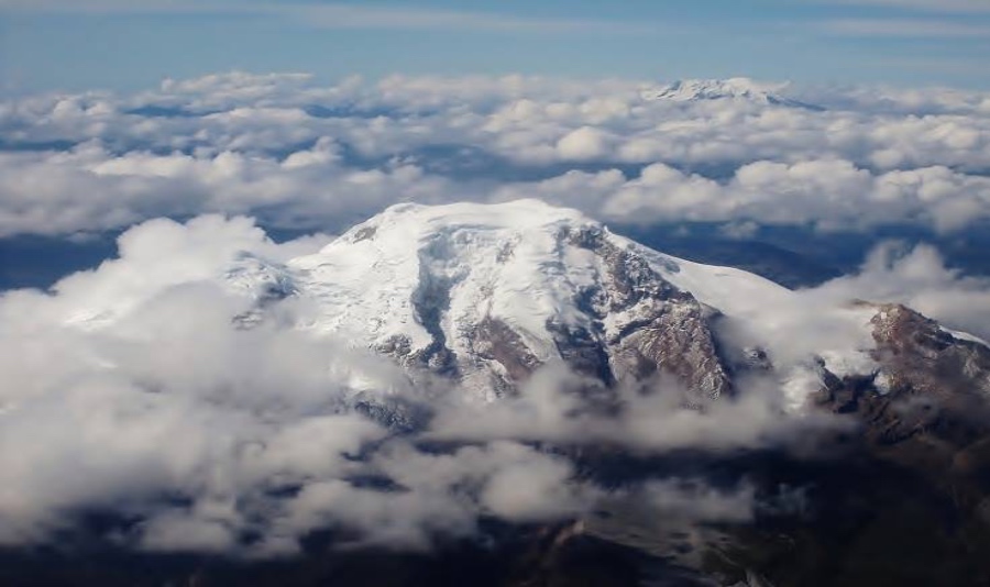
The Altar volcano is located in the Sangay National Park, 170 km south of Quito. It is also known as
Kapak - Urku, which means “The Lord of the Mountains”. It is considered one of Ecuador's most beautiful
snow-capped mountains and is called the “Masterpiece of volcanic creation”. The highest point of this
volcano is 5319 meters above sea level. And it has a climate that varies from 7° to 15° C. It is one
of the most visited tourist places in Riobamba for excursions and hikers to its beautiful lagoons.

ILINIZAS
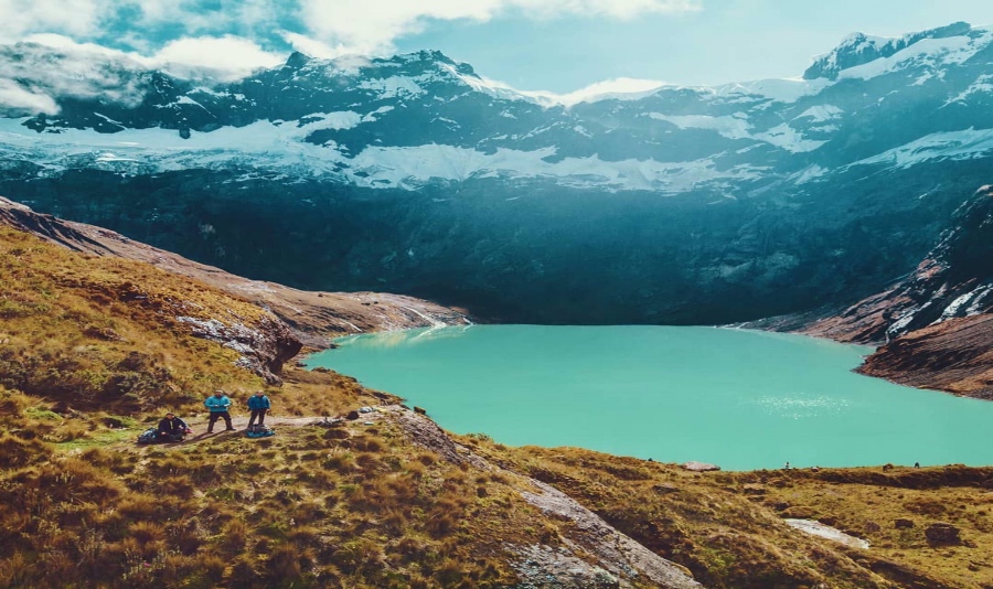
This volcano is located between the provinces of Pichincha and Cotopaxi, 100 km southwest of Quito, in the Ilinizas
ecological reserve. 2 summits form it; North Iliniza, which reaches 5,116 masl, and its ascent is relatively easy,
and the South Iliniza, which extends up to 5,305 masl where only expert climbers can ascend. This mountain is generally
a preparatory ascent for high peaks such as Cotopaxi, Cayambe, and Chimborazo. There is a rustic refuge located between
the north and south peaks. The climate can reach 24 °C at the bottom and 0 °C at the top.
AMAZON
SANGAY
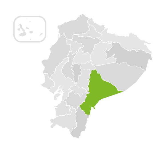
Sangay volcano is located in the National Park that bears the same name, in the province of Morona Santiago, and is 198 km from the city of Quito.
Sangay is one of the most active volcanoes in Ecuador; it has been in constant eruptive activity since 1628, which is why its name in Quichua means
“to terrify or frighten”. Despite this, it is one of Ecuador's favorite tourist sites and is most visited by tourists and the Galapagos Islands.
It has an altitude of 5230 meters above sea level and a climate that ranges from 13° to 32° Celsius.
